
UNCOVERING THE SUBSURFACE
Better understanding geological system behavior intersects benefits for humanity, Earth systems, and imminent infrastructural needs for power generation. The STRIDE Consortium uses advanced remote-sensing and data science methods to globally foster technological advancements from micro- to field-scale—all with the goal of reducing uncertainty, risk, and cost of global subsurface engineering.

WHAT WE DO
REVEALING THE NETWORK
STRIDE pushes the scalar boundaries of remote sensing for subsurface engineering, with diverse results: decreasing uncertainty in material and damage properties, interpreting and mitigating the risk of natural and induced geohazards, and reducing the overall cost of subsurface engineering.

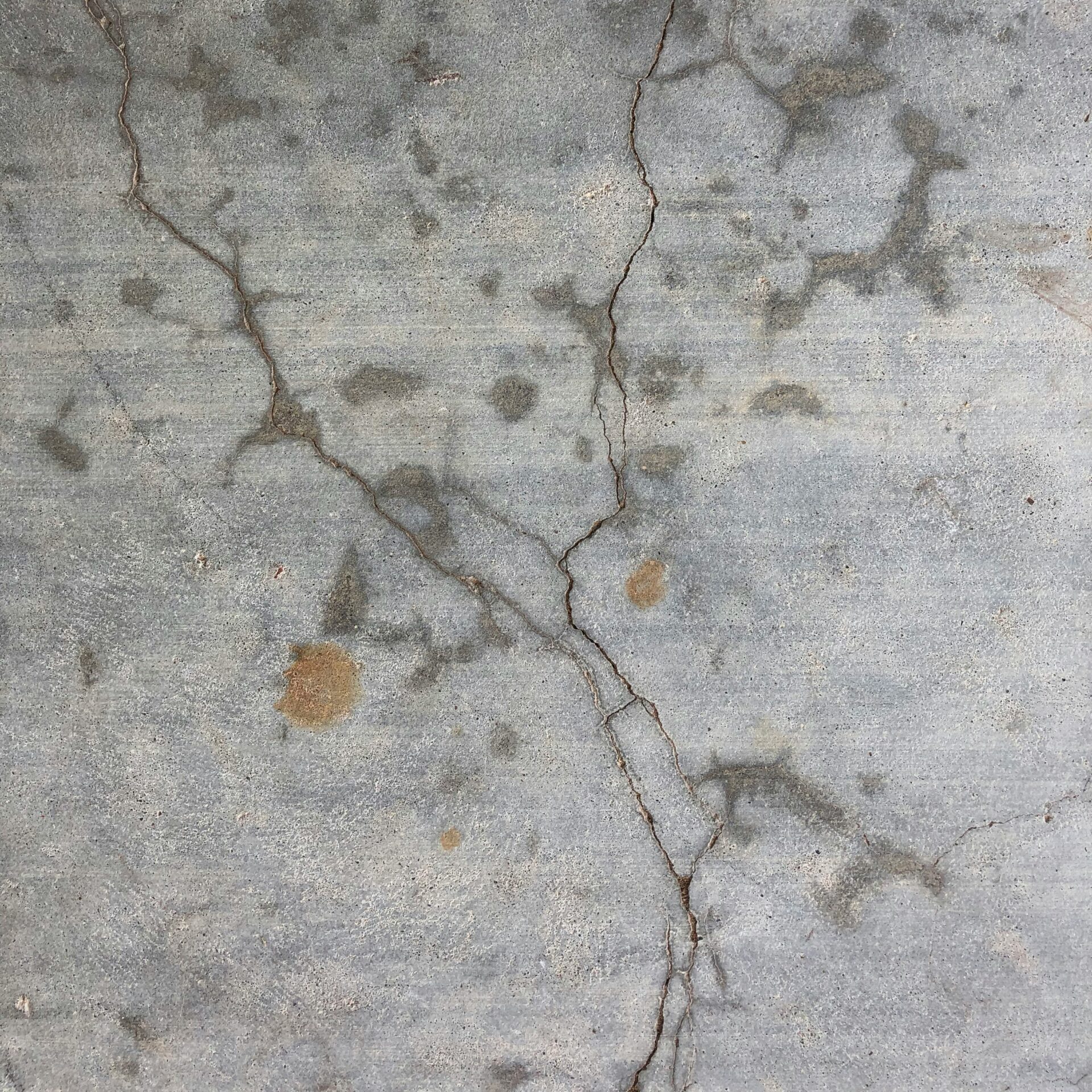
MULTISCALE DAMAGE
from microcracks to natural and induced seismicity

NONDESTRUCTIVE
EVALUATION TECHNIQUES
from acoustic emissions to distributed fiber optic sensing

ARTIFICIAL INTELLIGENCE
from optimization to deep learning
OUR METHODS
FROM MICRO- TO FIELD-SCALE
STRIDE exists at the interdisciplinary junction of civil engineering, geological engineering, geophysics, and data science. We root ourselves in laboratory- and field-scale observations to understand the physical processes related to fractures, damage evolution, and material/structural behavior.

SHARED COST,
EXPONENTIAL GAIN
Turn our revolutionary research into proprietary, field-ready tools that secure your competitive edge for the next decade.
